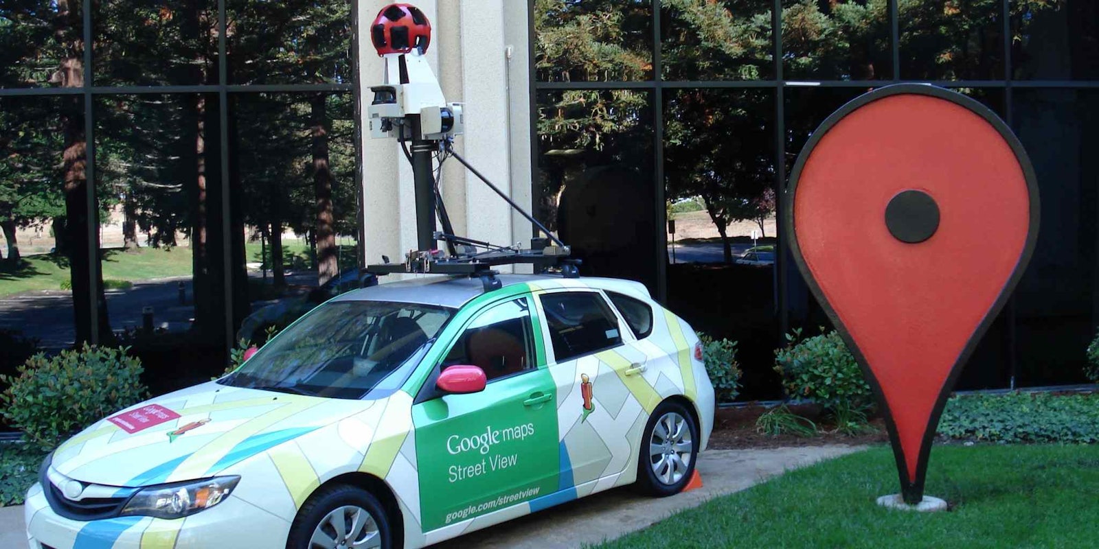
If you thought Google Street View was already giving you an accurate recreation of roads in your neighborhood, just wait. The next time you scroll through the virtual streets in your town, Google might also be able to tell you about the quality of air.
A new initiative between Google and environmental sensor networks company Aclima is equipping high-tech Google Street View cars with a variety of sensors that will collect data about the environment.
“Initially, EDF [Energy Defense Fund] approached us about measuring methane with Street View cars, because we have the technology, resources and scale to help gather this useful information at scale,” a Google spokesperson told the Daily Dot. “Street View cars are being used for this pilot because they are readily available resources from our fleet of vehicles that can easily be modified with an air quality sensor and wind anemometer.”
Hunter said the initial run of the program, completed last year in Denver, used just three cars. Those souped up sensory vehicles logged 750 hours on the road and collected over 150 million data points. It’s an overwhelming amount of information, much of which is otherwise unknown.
“Currently, the EPA [Environmental Protection Agency] relies on an extensive network of stationary equipment, placed in urban areas, that measure carbon monoxide, nitrogen dioxide, sulfur dioxide, particulate matter, hydrocarbons and photochemical oxidants. The monitoring network is designed for air quality regulation, but does not give a detailed picture of a community or urban area such that people can get a real sense of what air pollution is in their immediate surroundings,” Hunter explained.
As the Street View cars go about their business mapping the streets of cities across the United States, they will also begin to absorb data about air pollutants that can affect human health and climate change.
The relationship between the companies dates back several years, when the search giant tapped Aclima to outfit buildings on Google’s campus with devices to monitor pollution.
Kim Hunter, Director of Communications and Engagement at Aclima, explained the sensors will record information about the levels of nitrogen dioxide, nitric oxide, ozone, carbon monoxide, carbon dioxide, methane, black carbon, particulate matter, and Volatile Organic Compounds (VOCs).
Google and Aclima view the data collected by the cars as complementary to the existing measurement recorded by the EPA’s regional network. The street-level information can help fill in parts of the picture that are otherwise missed.
Of course, gathering the information is only one half of the equation. The question then becomes, “what do you do with it?”
Google intends to eventually surface the data through tools like Google Maps and the Google Earth Engine so that everyone can make use of it.
“Environmental air quality is an issue that affects everyone because of the potential health and environmental impacts it has, so by making this information about pollution more accessible and useful, we hope to help awareness,” a Google spokesperson explained.
The information has started to take form from millions of individual data point to a singular picture of the air, much like the images from the Google Street View cameras are stitched together. Aclima has compiled much of the data and is publishing its findings from the Denver experiment. Residents can look and see when the best time to take their dog for a walk is or when the air is cleanest for an evening run.
“Our hope is that these insights provide better awareness of local air quality and can be used to find solutions that mitigate exposure to pollution,” Hunter said.
In the scope of the environment as a whole, measuring the quality of air street by street is about as micro as one can get. But beyond just telling citizens of a city about air pollutants in their area, Google has its eyes set on some macro applications as well.
“This information can be used by local and state governments to take action to improve air quality such as mitigate pollution exposure or pass legislation,” the spokesperson said. “Based on this useful air quality information, groups like EDF can influence public policy changes.”
With the Denver test drive a success, Google intends to expand the initiative as it sets out to to create a comprehensive map of the environment. The effort will be expanding to the San Francisco Bay Area this fall, and additional work with the scientific community will aim to develop applications for the data collected.
“Understanding these complex relationships is critical to managing and improving air quality. The Denver test prepares us for scaling the system and introducing Aclima’s mobile sensing platform to communities anywhere Google Street View vehicles drive. There’s unlimited potential for our work to help improve the health and resilience of communities everywhere,” Aclima CEO Davida Herzl said.
H/T NPR | Photo via Sancho McCann/Flickr (CC BY 2.0)


