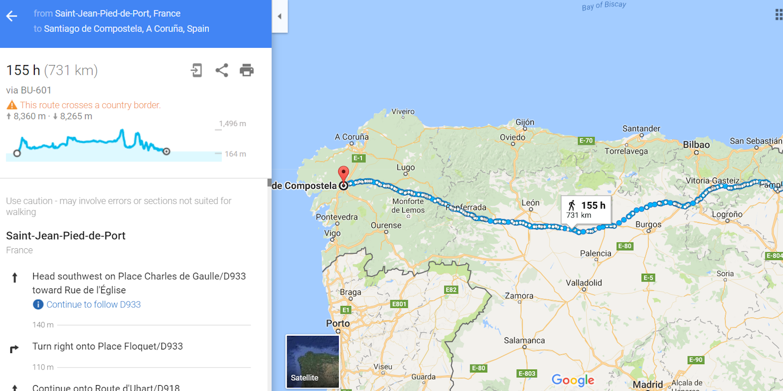
Google Maps quietly added a new feature that’s sure to be a savior for anyone with bad knees.
The popular mapping service will tell you elevation changes on your walking route. If that sounds familiar it’s because Google introduced a similar feature for cyclists back in 2014. That version pulled up a chart with an estimated elevation for each section of a cyclist’s route.
First spotted by Mashable, the elevation feature for walking directions has been hiding in Google Maps, though we’re not exactly sure for how long.

To use the feature, go to Google Maps on your laptop or desktop, type in your start and end location, and select the walking human figure on the top left of your display. Several route choices should then appear below with an altitude graph that shows the total elevation decrease and increase during your trip.
If you want to get a good idea of the elevation at a certain spot during your trip just hover over any point on your route and you’ll see a dot appear on the elevation chart. Unfortunately, Google does not provide much information beyond the simple line graph. You can’t see exact altitudes at certain points or quickly take the difference in altitude between point A and point B. It’s a confusing omission, especially since the feature appears to know exactly what altitude you are at throughout your journey.
Do note that the chart did not show up on every trip we threw at Maps, and that a few directions simply told us if the route would be flat or steep.
The feature only appears to be available on the desktop versions of Google Maps—a strange limitation considering how much more useful it’d be on a smartphone.
We have reached out to Google and will update this article when we learn more.
H/T Mashable


